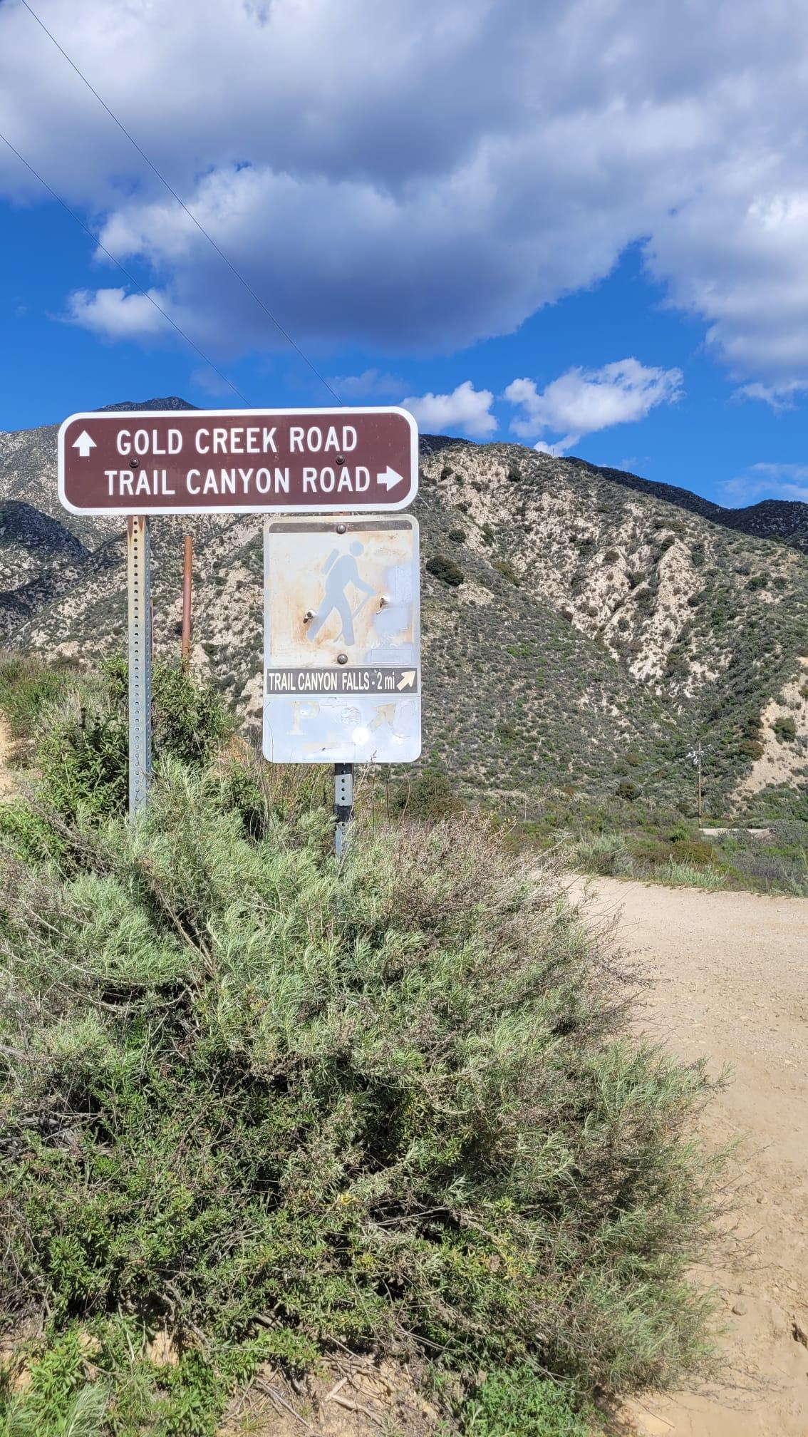
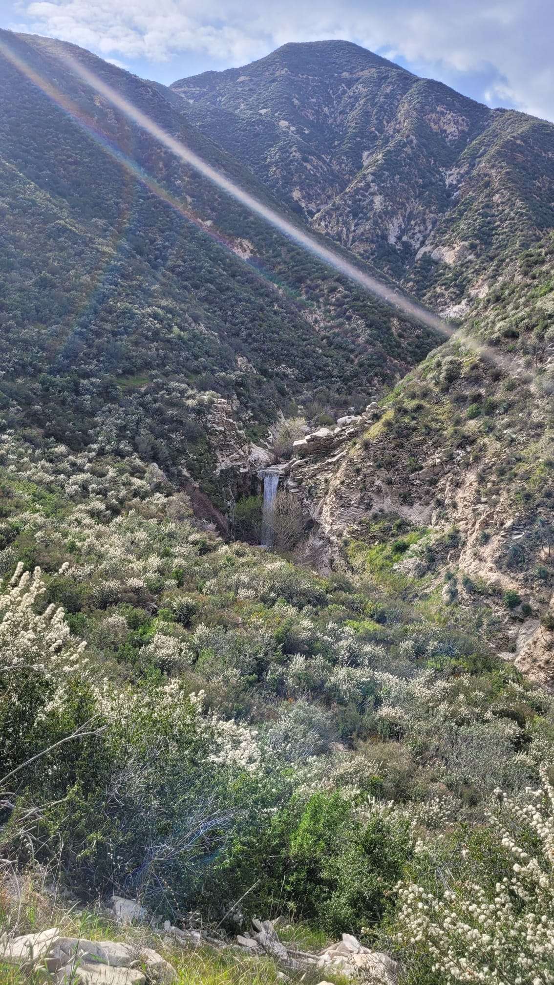
The Dagger Flat Trail in Angeles National Forest is a challenging 7.07-mile round trip hike with an elevation gain of 1,168 feet. Located in Pacoima Canyon, this trail offers a diverse hiking experience, transitioning from a fire road to a creek bed. Hikers should be prepared for potentially difficult terrain, especially in less defined areas along the creek. The trail provides scenic views of the canyon and may feature water crossings and rocky outcroppings, making it an adventurous destination for outdoor enthusiasts.
What Are the Key Features of Dagger Flat Trail?

Dagger Flat Trail in Angeles National Forest boasts several distinctive features:
- Trail Composition:
- Starts on a fire road
- Transitions to a creek bed along Pacoima Canyon Creek
-
Less defined trail sections in the creek area
-
Scenic Elements:
- Canyon views
- Potential water crossings
- Rocky outcroppings
-
Seasonal waterfalls (depending on rainfall)
-
Trail Statistics:
- Length: 7.07 miles round trip
-
Elevation gain: 1,168 feet
-
Terrain Challenges:
- Steep sections
- Loose rocks
- Slippery surfaces (especially near water)
Where Is the Trailhead Located?

The Dagger Flat Trail begins at the Pacoima Canyon trailhead in Angeles National Forest. Here are the key details:
- GPS Coordinates: Approximately 34.3333° N, 118.4333° W (verify before travel)
- Parking: Available near the trailhead, but may be limited
- Fees: Potential parking or forest access fees may apply (check with US Forest Service)
What Should Hikers Bring on the Trail?
Proper preparation is crucial for a safe and enjoyable hike on Dagger Flat Trail. Here’s a recommended gear list:
- Sturdy hiking boots or shoes
- Comfortable, weather-appropriate clothing
- Sufficient water (more than you think you’ll need)
- High-energy snacks and food
- Sunscreen and a wide-brimmed hat
- First aid kit
- Map and compass or GPS device
- Emergency whistle
- Flashlight or headlamp (with extra batteries)
- Multi-tool or knife
- Insect repellent
When Is the Best Time to Hike Dagger Flat Trail?
Choosing the right time for your hike can greatly enhance your experience:
- Time of Day:
- Early morning: Cooler temperatures, less crowded
-
Late afternoon: Avoid midday heat, potential for sunset views
-
Seasonal Considerations:
- Spring: Potential for wildflowers and flowing water
- Fall: Cooler temperatures, possible autumn colors
- Winter: Less crowded, but check for trail conditions
-
Summer: Very hot, bring extra water and sun protection
-
Weather Warnings:
- Avoid hiking during:
- Heavy rain (flash flood risk)
- Extreme fire danger
- Excessive heat warnings
What Safety Precautions Should Hikers Take?
Safety should be a top priority when hiking Dagger Flat Trail. Consider these precautions:
- Trail Conditions:
- Be aware of loose rocks and slippery surfaces
- Use caution in less defined creek bed areas
-
Watch for potential obstacles or hazards
-
Wildlife Awareness:
- Be alert for rattlesnakes, especially in warmer months
- Keep a safe distance from any wildlife encountered
-
Make noise to avoid surprising animals
-
Water Safety:
- Be cautious of swift water in creek crossings
-
Don’t attempt to cross during high water periods
-
Communication and Planning:
- Inform someone of your hiking plans and expected return time
- Carry a fully charged cell phone (service may be limited)
- Consider hiking with a partner or group
How Can Hikers Navigate the Trail?
Proper navigation is essential on Dagger Flat Trail:
- Trail Maps:
- Use resources like AllTrails or Hikepack for detailed maps
-
Download offline maps before your hike
-
Trail Markers:
- Look for trail blazes or cairns, especially in less defined areas
-
Pay attention to landmarks mentioned in trail guides
-
Navigation Tools:
- Bring a physical map and compass as backup
-
Use a GPS device or smartphone app for real-time tracking
-
Key Waypoints:
- Note the transition from fire road to creek bed
- Identify major creek crossings or significant terrain changes
What Is the Environmental Impact and Leave No Trace Principles?
Preserving the natural beauty of Dagger Flat Trail is crucial:
- Leave No Trace Principles:
- Pack out all trash, including biodegradable items
- Stay on designated trails to prevent erosion
- Respect wildlife and observe from a distance
-
Minimize campfire impacts (if allowed)
-
Water Conservation:
- Carry sufficient water to avoid relying on natural sources
-
If filtering creek water, do so away from the water’s edge
-
Ecosystem Preservation:
- Don’t remove plants, rocks, or other natural objects
- Clean boots and gear to prevent spreading invasive species
By following these guidelines, hikers can help maintain the trail’s natural state for future visitors.
