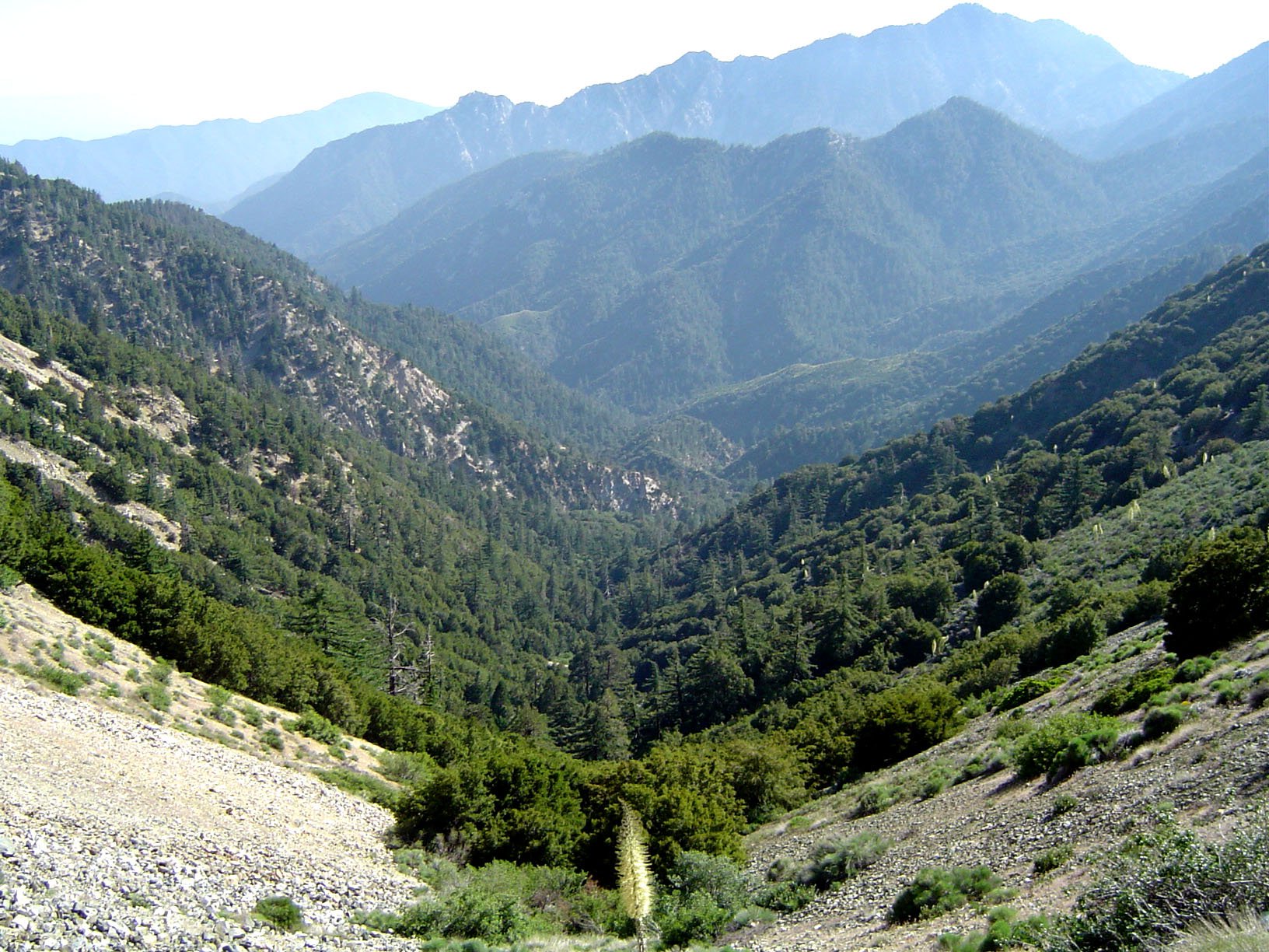
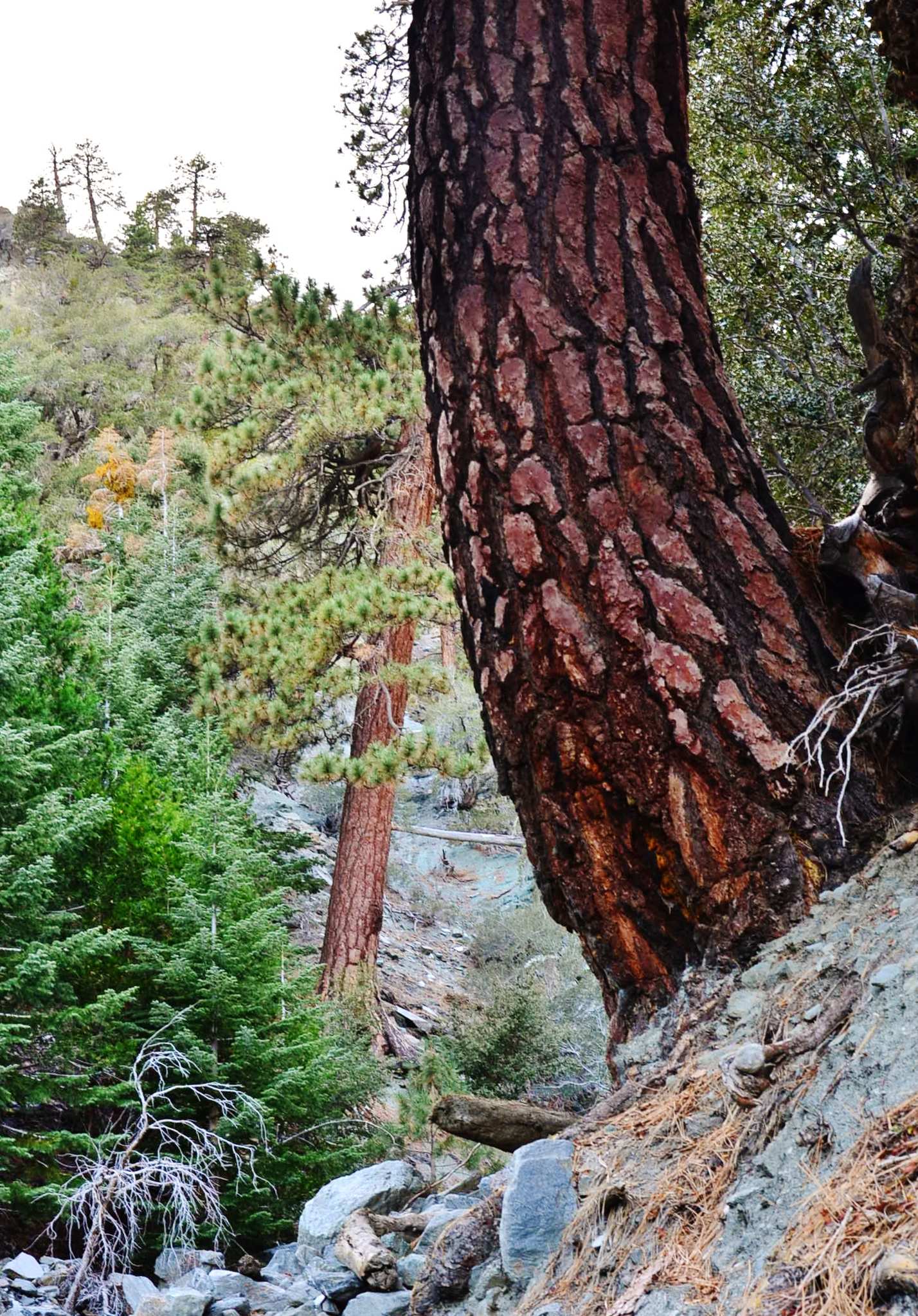
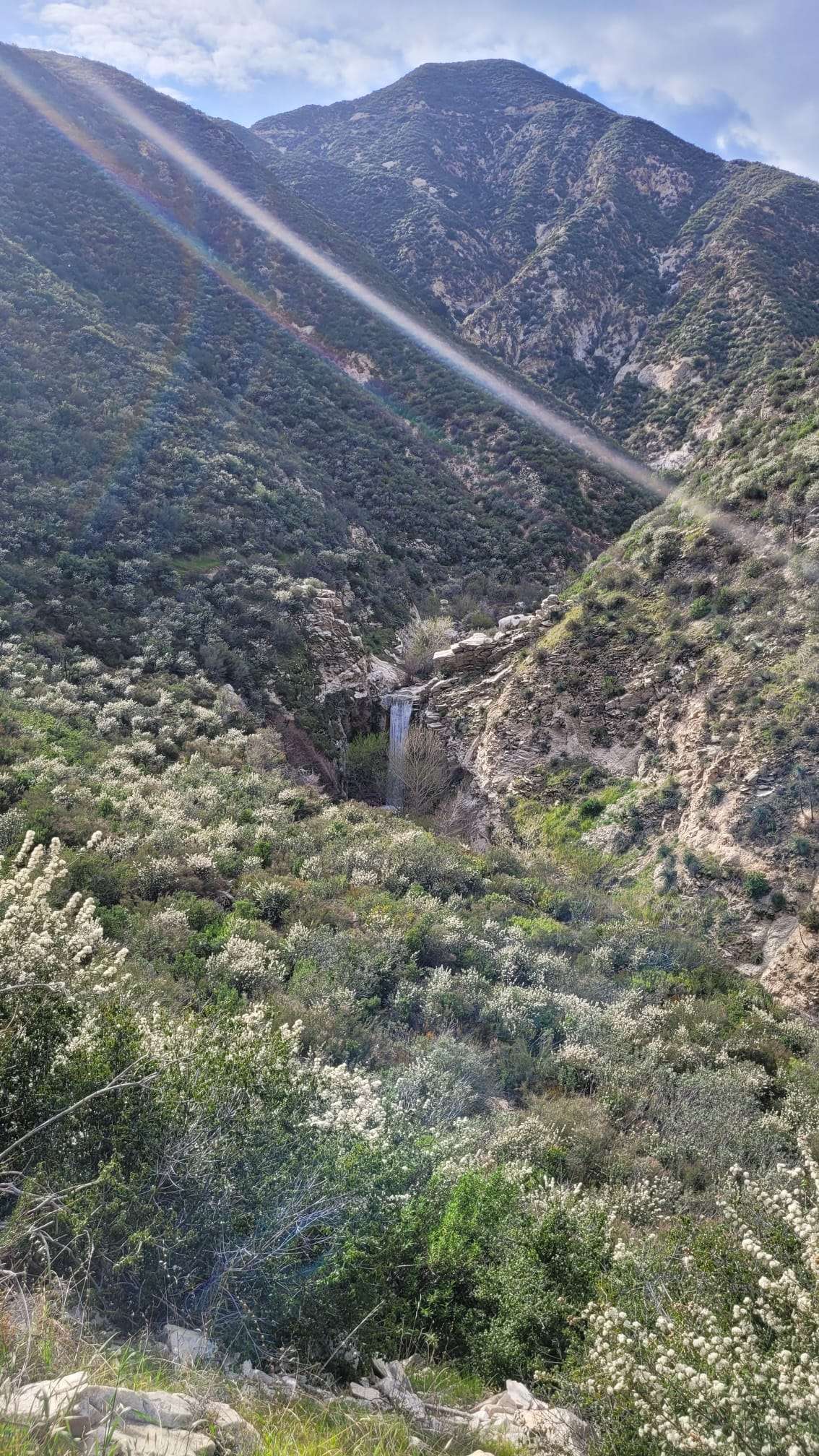
The Pacific Crest Trail (PCT) through Los Angeles National Forest offers hikers a challenging and scenic adventure. This 77.2-mile segment spans from Guffy Camp near Wrightwood to Indian Canyon Trail Head in Acton, featuring diverse landscapes and significant elevation changes. Hikers can expect to encounter well-maintained trails, campgrounds, and breathtaking views of Southern California’s wilderness. The trail provides access to several peaks and offers various difficulty levels for both seasoned backpackers and day hikers.
What Are the Key Segments of the Pacific Crest Trail in Los Angeles National Forest?

The Pacific Crest Trail through Los Angeles National Forest consists of several notable segments:
- Hwy 2 Vincent Gap to Hwy 2 Three Points
- Distance: 26.2 miles
- Suitable for: Weekend car shuttle projects
-
Part of: PCT Partners Series
-
Hwy 2 Three Points to Bouquet Canyon Rd
- Distance: Approximately 62 miles (100k)
- Features: Significant elevation changes
-
Covers: Large portion of Angeles National Forest
-
Mt. Baden-Powell to Islip Saddle
- Distance: 10.2 miles
- Elevation gain: 4,709 feet ascent, 3,768 feet descent
- Highlights: Ridge walk, access to multiple peaks
Where Can Hikers Camp Along the Pacific Crest Trail in Los Angeles National Forest?

Several campgrounds are accessible from the PCT within Angeles National Forest:
- Messenger Flats Campground
- Amenities: Restrooms, seasonal water sources, fire pits
- Reservation: First-come, first-served
-
Fee: Approximately $10 per night
-
Little Jimmy Campground
- Amenities: Restrooms, seasonal water sources, fire pits
- Reservation: Available through recreation.gov
-
Fee: Around $10 per night
-
Mt. Gleason Camp
- Note: Less documented, may not be a reliable option
What Are the Main Access Points for the Pacific Crest Trail in Los Angeles National Forest?
| Access Point | Parking | Coordinates | Fees/Permits |
|---|---|---|---|
| Guffy Camp near Wrightwood | Limited | 34.3733° N, 117.6333° W | Adventure Pass or Annual Park Pass required |
| Indian Canyon Trail Head | Available | 34.4333° N, 118.2833° W | Adventure Pass or Annual Park Pass required |
| Vincent Gap Trailhead | Available | 34.3667° N, 117.6667° W | Adventure Pass or Annual Park Pass required |
What Are the Current Trail Conditions for the Pacific Crest Trail in Los Angeles National Forest?
Hikers should be aware of the following conditions:
- Weather Impacts:
- Snow and ice in higher elevations during winter and early spring
-
Recent reports of fallen tree branches
-
Trail Maintenance:
- Generally well-graded
- Some overgrown sections
-
Fallen trees and branches may require navigation
-
Potential Hazards:
- Slippery sections, especially during descent
- Wildlife encounters, including rattlesnakes
- No major closures reported, but caution advised
How Long Does It Take to Hike the Pacific Crest Trail Through Los Angeles National Forest?
The time to complete the Pacific Crest Trail through Los Angeles National Forest varies based on several factors:
- Total Distance: Approximately 77.2 miles
- Elevation Gain: 12,793 feet
- Estimated Duration: Several days, depending on:
- Hiker’s pace
- Time spent at stops
- Weather conditions
- Individual fitness levels
Most hikers plan for 5-7 days to complete this section, allowing time for rest and enjoying the scenery.
What Are the Must-See Landmarks Along the Pacific Crest Trail in Los Angeles National Forest?
- Mt. Baden-Powell
- Elevation: 9,399 feet
-
Features: Panoramic views, historic summit monument
-
Throop Peak
- Elevation: 9,138 feet
-
Highlights: 360-degree views of the San Gabriel Mountains
-
Mt. Hawkins
- Elevation: 8,850 feet
-
Notable: Former site of a fire lookout tower
-
Islip Saddle
- Elevation: 6,670 feet
- Significance: Junction of several trails, including the PCT
What Permits Are Required for Hiking the Pacific Crest Trail in Los Angeles National Forest?
Hikers on the Pacific Crest Trail in Los Angeles National Forest need to be aware of the following permit requirements:
- Day Hikers:
-
Adventure Pass or Annual Park Pass required for parking at trailheads
-
Overnight Hikers:
- California Campfire Permit (free) for use of stoves or campfires
-
Wilderness Permit for overnight stays in designated wilderness areas
-
Long-Distance Hikers:
- PCT Long-distance Permit for those hiking 500+ miles
It’s important to check with the U.S. Forest Service for the most up-to-date permit information before your trip.
How Should Hikers Prepare for the Pacific Crest Trail in Los Angeles National Forest?
Proper preparation is crucial for a safe and enjoyable hike:
- Physical Conditioning:
- Train for elevation gain and long distances
-
Practice with a loaded backpack
-
Gear Checklist:
- Sturdy hiking boots
- Weather-appropriate clothing (layers)
- Navigation tools (map, compass, GPS)
- First aid kit
-
Water filtration system
-
Water Planning:
- Research water sources along the route
-
Carry sufficient water capacity
-
Food Planning:
- Pack high-energy, lightweight foods
-
Plan for extra days in case of delays
-
Weather Awareness:
- Check forecasts before and during the hike
-
Be prepared for sudden weather changes
-
Leave No Trace:
- Familiarize yourself with Leave No Trace principles
- Pack out all trash and waste
By following these guidelines and staying informed about current conditions, hikers can maximize their experience on the Pacific Crest Trail through Los Angeles National Forest.
References:
1. https://www.pcta.org/discover-the-trail/geography/southern-california/
2. https://fastestknowntime.com/route/pacific-crest-trail-angeles-national-forest-ca
3. https://www.alltrails.com/trail/us/california/pacific-crest-trail-angeles-forest-highway-to-soledad-canyon-road

