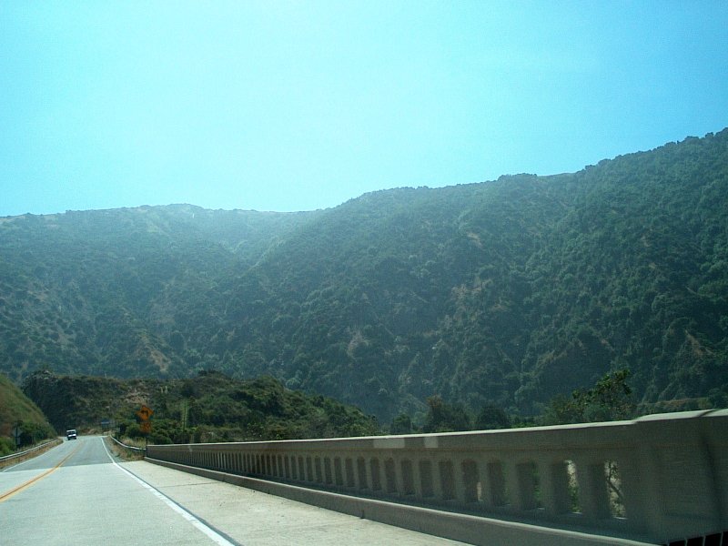
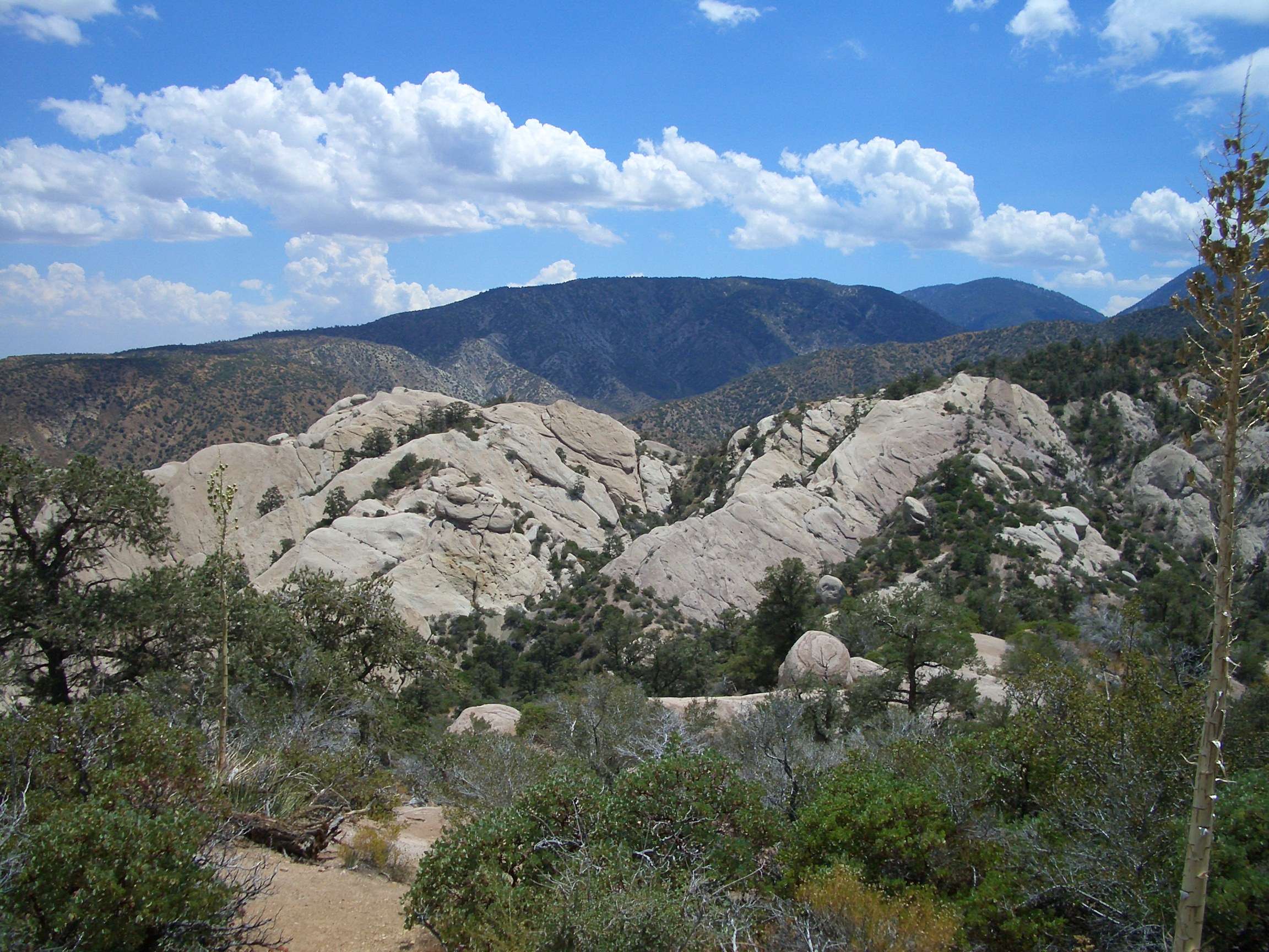
The Antonio Fire Angeles National Forest, also known as the Bridge Fire, has significantly impacted the East Fork of San Gabriel Canyon. As of September 24, 2024, the fire has burned 54,878 acres and is 79% contained. Located 6 miles northeast of Glendora, CA, it has affected areas in Los Angeles and San Bernardino counties, including Wrightwood, Piñon Hills, and Mt. Baldy. Firefighters continue their efforts to contain the blaze and protect nearby communities.
What is the Current Status of the Bridge Fire?

The Bridge Fire, initially referred to as the Antonio Fire in Angeles National Forest, has been a major concern for local authorities and residents. Here’s a breakdown of its current status:
- Acreage Burned: 54,878 acres
- Containment: 79%
- Location: East Fork of San Gabriel Canyon, 6 miles northeast of Glendora, CA
- Affected Counties: Los Angeles and San Bernardino
Firefighters are actively engaged in:
1. Mop-up operations
2. Strengthening containment lines
3. Removing hazardous trees
4. Investigating smoke reports
5. Extinguishing isolated heat sources
Air resources are focusing on dropping retardant to prevent the fire from spreading to foothill communities.
How Has the Fire Impacted Recreational Activities?

The Antonio Fire in Angeles National Forest has significantly affected recreational activities in the area:
- Bridge Fire Area Closure Order: Issued from October 18, 2024, through December 31, 2025
- Affected Areas: Various recreational zones closed to public use
- Duration: Extended closure period to ensure public safety
| Closure Type | Start Date | End Date |
|---|---|---|
| Bridge Fire Area | October 18, 2024 | December 31, 2025 |
| Williamson Rock Area | Current | December 31, 2026 |
Visitors are advised to check with the nearest Forest Service office for up-to-date information on closures and restrictions before planning their trips.
What are the Designated Evacuation Zones?
The Antonio Fire in Angeles National Forest has necessitated evacuations in several areas:
Los Angeles County Evacuation Zones:
- LAC-E107-C
- LAC-E126-A
- LAC-E126-B
- (Additional zones may be affected)
San Bernardino County Evacuation Area:
- From Hwy 138 south to the northern border of San Antonio Heights
- North to the evacuation zones of Wrightwood
Residents can access interactive evacuation maps:
– Los Angeles County: Genasys Protect website or app
– San Bernardino County: ArcGIS website
It’s crucial for residents to follow instructions from local authorities and regularly check these resources for updates.
How Has Wildlife and Vegetation Been Affected?
The Antonio Fire in Angeles National Forest has had a significant impact on the local ecosystem:
- Vegetation Types Involved:
- Chaparral
- Brush
- Short grass
-
Dead and down trees
-
Firefighting Strategies:
- Strategic fuel reduction treatments
-
Prescribed fires in select areas
-
Objectives:
- Protect forest infrastructure
- Improve overall forest health
The long-term effects on wildlife habitats and plant communities are still being assessed.
What Fire Safety Measures Should Visitors Follow?
Given the extreme fire danger conditions in Angeles National Forest, visitors must adhere to strict fire safety measures:
- Fire Restrictions:
- In effect for the entire forest
-
Prohibit campfires, smoking, and other fire-related activities
-
Access Limitations:
- Certain areas closed until December 31, 2026
-
Includes Williamson Rock Area
-
Visitor Responsibilities:
- Check with Forest Service office before visiting
- Stay informed about alerts, advisories, and notices
- Comply with all posted restrictions and closures
How Can Residents Stay Informed About the Antonio Fire?
To stay updated on the Antonio Fire in Angeles National Forest:
- Official Websites:
- InciWeb: Regular incident updates
- CAL FIRE: Detailed fire reports and containment status
-
Angeles National Forest: Alerts and closure information
-
Local News Sources:
-
Follow reputable local news channels and newspapers
-
Social Media:
-
Official accounts of fire departments and forest services
-
Emergency Alert Systems:
-
Sign up for local emergency notification systems
-
Community Meetings:
- Attend virtual or in-person briefings when available
What Long-Term Effects Might the Fire Have on the Forest?
The Antonio Fire in Angeles National Forest could have several long-lasting impacts:
- Ecosystem Changes:
- Altered vegetation patterns
-
Potential shifts in wildlife habitats
-
Soil Erosion:
- Increased risk in burned areas
-
Possible impacts on watersheds
-
Recreational Access:
- Extended closures of popular areas
-
Potential trail and facility damage
-
Forest Management:
- Reassessment of fire prevention strategies
-
Implementation of new restoration projects
-
Climate Considerations:
- Evaluation of fire’s role in local climate patterns
- Potential adjustments to forest management practices
Ongoing studies will provide more detailed insights into these long-term effects.
How Can the Community Support Recovery Efforts?
Community involvement is crucial for the recovery of Angeles National Forest after the Antonio Fire:
- Volunteer Opportunities:
- Participate in organized clean-up events
-
Join reforestation initiatives
-
Donations:
- Support local fire departments
-
Contribute to forest restoration funds
-
Education:
- Learn about fire prevention
-
Spread awareness about forest conservation
-
Responsible Recreation:
- Adhere to fire safety guidelines
-
Respect closures and restrictions
-
Community Preparedness:
- Participate in local emergency planning
- Create defensible spaces around properties
By working together, the community can play a significant role in helping the forest recover and become more resilient to future fires.
References:
- [https://inciweb.wildfire.gov/incident-information/caanf-bridge-fire]
- [https://www.fire.ca.gov/incidents/2024/9/8/bridge-fire/updates/e794cca2-7431-4352-adbb-73a65bf217d6]
- [https://www.fs.usda.gov/alerts/angeles/alerts-notices]

