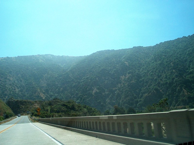
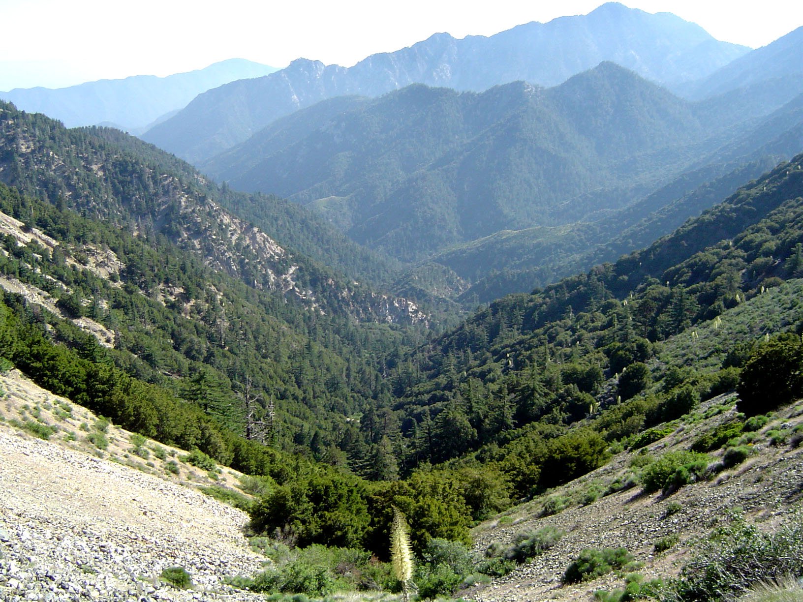
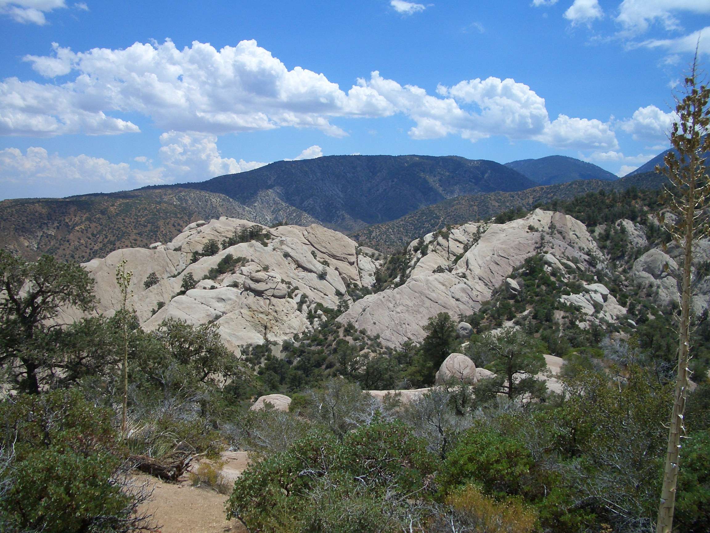
The Ken Burton Loop in Angeles National Forest is a demanding yet rewarding hiking trail that offers a diverse terrain and breathtaking views. This loop, spanning approximately 14-15 miles, combines fire roads, single/doubletrack climbs, and singletrack descents. It connects Brown Mountain Road with the Gabrielino Trail, descending into the picturesque Arroyo Seco canyon. With an elevation gain of around 2,900 feet, this trail challenges hikers with its rugged and exposed sections while rewarding them with panoramic vistas of the surrounding landscape.
What Makes Ken Burton Loop Unique?

The Ken Burton Loop stands out for its combination of challenging terrain and scenic beauty. Here are some key features that make this trail unique:
- Varied Terrain: The trail offers a mix of fire roads, single/doubletrack climbs, and singletrack descents.
- Elevation Changes: With an elevation gain of approximately 2,900 feet, hikers experience significant uphill and downhill sections.
- Scenic Views: The trail provides panoramic views from Brown Mountain and the Arroyo Seco canyon.
- Historical Significance: It connects to the Gabrielino Trail, which has historical importance in the area.
What is the Trail Distance and Elevation Profile?

The Ken Burton Loop varies slightly in distance and elevation depending on the specific route taken. Here are two common variations:
| Route Variation | Distance | Elevation Gain | Elevation Descent |
|---|---|---|---|
| Option 1 | 14.3 miles | 2,914 feet | 2,941 feet |
| Option 2 | 15 miles | 2,843 feet | 2,842 feet |
Both options present a significant challenge due to the substantial elevation changes over the course of the hike.
What Are the Trail Conditions?
The Ken Burton Loop is known for its diverse and challenging conditions:
- Fire Roads: Some sections of the trail follow wider, more established fire roads.
- Single/Doubletrack Climbs: Hikers will encounter narrower paths with steep ascents.
- Singletrack Descents: The trail features technical downhill sections on narrow paths.
- Rugged and Exposed Areas: Many parts of the trail are described as rugged and exposed, requiring careful navigation.
- Arroyo Seco Canyon: The descent into this canyon involves creek hopping and potential route-finding challenges.
How Difficult is the Ken Burton Loop?
The Ken Burton Loop is considered a challenging hike due to several factors:
- Significant Elevation Changes: The substantial gain and loss in elevation over the course of the hike require good physical fitness.
- Varied Terrain: Hikers must be prepared to navigate different types of trails, from wide fire roads to narrow singletrack paths.
- Length: At 14-15 miles, this is a long day hike that requires endurance and proper preparation.
- Route Finding: Some sections, particularly in the Arroyo Seco canyon, may require navigation skills.
- Exposure: Many parts of the trail are exposed, which can be challenging in hot weather or during intense sun exposure.
Where Can Hikers Park for the Ken Burton Loop?
Parking for the Ken Burton Loop is typically available near the trailheads in the Angeles National Forest. Here are some key details:
- Location: Parking is often found at the Brown Mountain Fire Road or near the Gabrielino Trailhead.
- Capacity: Parking spaces are limited to the available areas at these trailheads.
- Fees: Some parking areas in the Angeles National Forest require an Adventure Pass. Be sure to check the specific requirements for your chosen parking location.
It’s advisable to arrive early, especially on weekends or holidays, to secure a parking spot.
What Scenic Views and Landmarks Can Hikers Expect?
The Ken Burton Loop offers several scenic highlights and notable landmarks:
- Brown Mountain Views: The trail provides panoramic views from the top of Brown Mountain.
- Arroyo Seco Canyon: The descent into this canyon offers picturesque views of the surrounding landscape.
- Gabrielino Trail: This historically significant trail connects with the Ken Burton Loop, offering additional scenic vistas.
- Forest Landscapes: Throughout the hike, you’ll be surrounded by the diverse flora of the Angeles National Forest.
What Should Hikers Bring for the Ken Burton Loop?
Given the challenging nature of this hike, proper preparation is crucial. Here’s a list of essential items to bring:
- Plenty of water (at least 3 liters per person)
- High-energy snacks and lunch
- Sun protection (hat, sunscreen, sunglasses)
- Sturdy hiking boots with good traction
- Trekking poles (helpful for steep sections)
- Navigation tools (map, compass, or GPS device)
- First aid kit
- Emergency whistle
- Headlamp or flashlight (in case the hike takes longer than expected)
- Layers of clothing (temperatures can vary throughout the day)
When is the Best Time to Hike the Ken Burton Loop?
The best time to hike the Ken Burton Loop depends on several factors:
- Spring and Fall: These seasons often offer the most comfortable temperatures for hiking.
- Winter: Can be a good time for cooler weather, but be prepared for potential rain or even snow at higher elevations.
- Summer: Early morning starts are recommended to avoid the intense midday heat.
Always check the weather forecast and trail conditions before setting out, regardless of the season.
How Can Hikers Prepare for the Ken Burton Loop?
To ensure a safe and enjoyable experience on the Ken Burton Loop, hikers should:
- Build up their endurance with shorter hikes before attempting this challenging loop.
- Start early in the day to allow plenty of time to complete the hike before dark.
- Inform someone of their hiking plans and expected return time.
- Study the trail map and familiarize themselves with the route before starting.
- Check for any trail closures or advisories with the Angeles National Forest office.
- Carry all necessary supplies, including extra water and food.
- Be prepared for changing weather conditions and dress in layers.
By following these preparation tips and respecting the trail’s challenges, hikers can fully appreciate the beauty and adventure that the Ken Burton Loop in Angeles National Forest has to offer.

