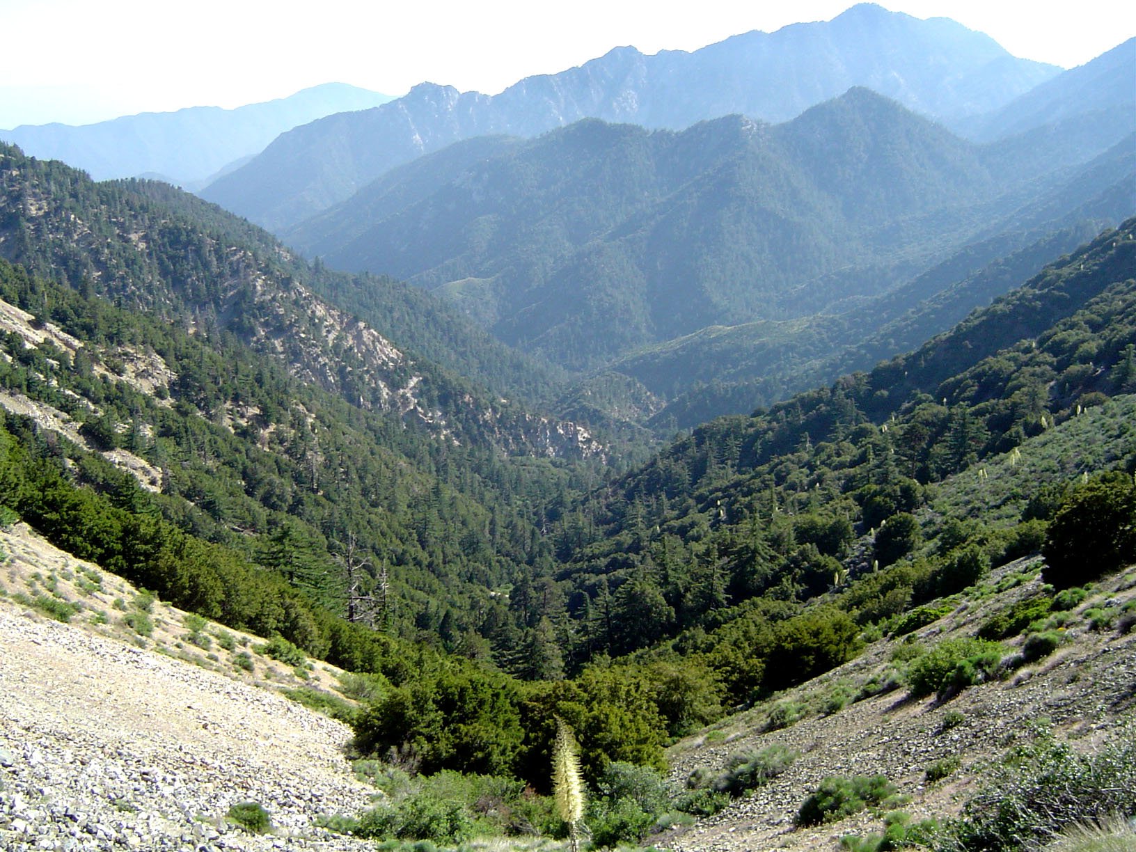
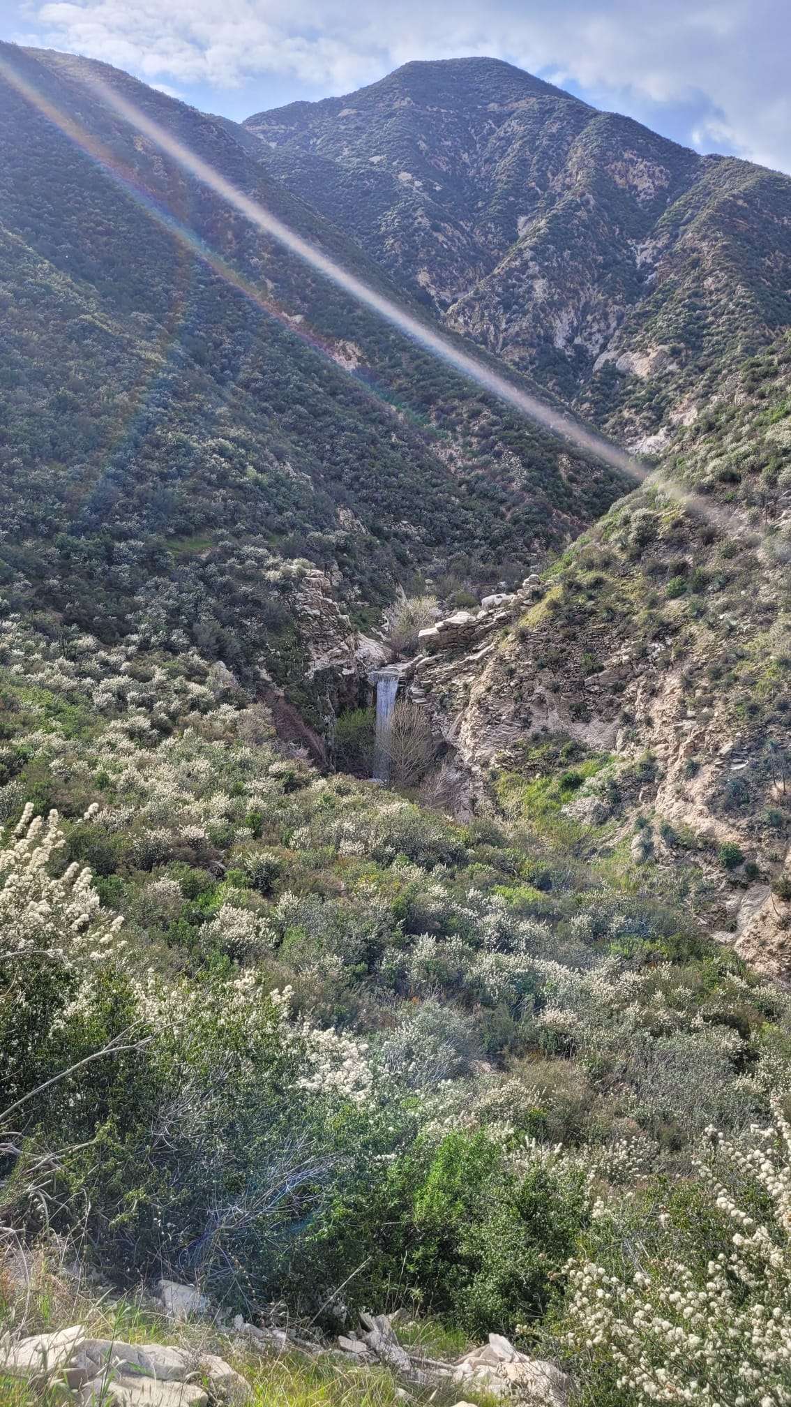
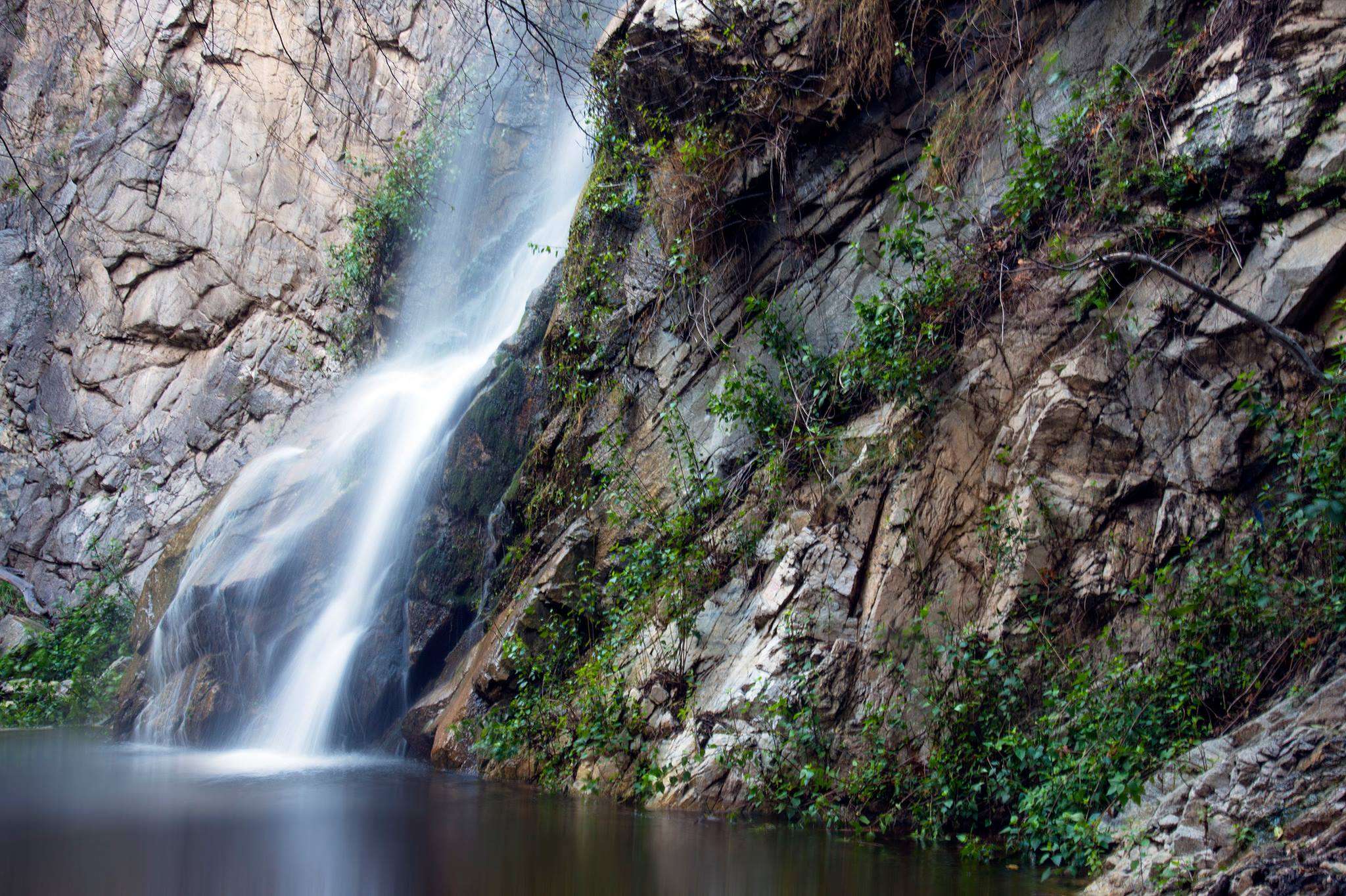
The Three Points Angeles National Forest hike is a challenging 11.8-mile trail with 3,700 feet of elevation gain. Starting at Three Points on Angeles Crest Highway, this strenuous route takes hikers through dense forests to Twin Peaks Saddle, Mt. Waterman, and Buckhorn. The trail offers diverse terrain, including switchbacks and steep paths, showcasing the beauty of the Angeles National Forest. Hikers should be prepared for a long, arduous journey that requires proper planning and equipment.
What Are the Key Details of the Three Points Trail Map?

The Three Points Angeles National Forest hike offers a comprehensive trail experience:
- Total Distance: 11.8 miles
- Elevation Gain: 3,700 feet
- Starting Point: Three Points on Angeles Crest Highway
Trail Waypoints:
- Start at Three Points, located about two miles past Chilao
- Cross the highway from the Horse Flats road
- Pass two junctions:
- Take left branch at first junction
- Take right branch at second junction (follow Mt. Waterman signs)
- Switchback up for the first mile
- Level off and wind through ravines for four miles to Twin Peaks junction
- At Twin Peaks junction:
- Right fork: 1 mile to saddle between Mt. Waterman and Twin Peaks
- Left fork: Leads to Mt. Waterman and Buckhorn
- Optional: Very steep path to easternmost peak of Twin Peaks (1,200 feet higher than saddle)
How Difficult is the Three Points Hike and What Terrain Can You Expect?

The Three Points Angeles National Forest hike is classified as strenuous due to its length and significant elevation gain. Hikers should be prepared for a challenging experience.
Difficulty Factors:
- Long distance (11.8 miles)
- Substantial elevation gain (3,700 feet)
- Varied and challenging terrain
Terrain Types:
| Terrain Feature | Description |
|---|---|
| Forests | Dense pine, fir, cedar, mountain mahogany, and oak |
| Switchbacks | Especially prominent in the first mile |
| Ravines | Winding paths through small ravines |
| Steep Paths | Particularly to reach Twin Peaks’ easternmost peak |
Notable Challenges:
- Endurance required for long-distance hiking
- Navigation skills needed for trail junctions
- Potential for hot weather and dry conditions
- Very steep ascent to Twin Peaks (optional)
Where Can You Park for the Three Points Hike and What Are the Requirements?
Parking for the Three Points Angeles National Forest hike is available at the trailhead, but hikers should be aware of specific requirements and restrictions.
Parking Location:
- Trailhead is at Three Points on Angeles Crest Highway
- Approximately two miles past Chilao
- Look for Santa Clara Divide Road to Horse Flats intersection
Parking Requirements:
- National Forest Adventure Pass: Mandatory for all vehicles parked at the trailhead
- Display: Pass must be visible in your vehicle
- Capacity: Specific parking capacity not provided, but it’s a common trailhead
Additional Parking Information:
- Exact coordinates not available, but searchable on Google Maps as “Three Points” along Angeles Crest Highway
- Check Angeles National Forest website or local ranger station for any parking updates or restrictions
What Are the Current Trail Conditions for the Three Points Hike?
While real-time trail conditions are not provided in the available sources, hikers should consider the following factors when planning their Three Points Angeles National Forest hike:
Weather Impacts:
- Summer: Potential for extreme heat, prepare accordingly
- Winter: Possibility of snow, check conditions before hiking
Trail Maintenance:
- Managed by U.S. Forest Service as part of Angeles National Forest
- Check official sources for recent maintenance updates
Advisories and Closures:
- Always verify current trail status before your hike
- Contact local ranger station for up-to-date information
- Check Angeles National Forest website for official advisories
How Should You Prepare for the Three Points Angeles National Forest Hike?
Proper preparation is crucial for a safe and enjoyable experience on this challenging trail.
Essential Gear:
- Sturdy hiking boots
- Plenty of water (especially during hot weather)
- High-energy snacks and meals
- Sun protection (hat, sunscreen, sunglasses)
- First aid kit
- Navigation tools (map, compass, GPS device)
- Layered clothing for changing temperatures
Physical Preparation:
- Build endurance with long day hikes
- Practice hiking with elevation gain
- Strengthen leg muscles and core
- Acclimate to altitude if coming from lower elevations
Safety Precautions:
- Inform someone of your hiking plans
- Start early to avoid hiking in the hottest part of the day
- Carry a reliable communication device
- Be aware of wildlife and proper encounter procedures
- Know basic wilderness first aid
What Are the Highlights of the Three Points Angeles National Forest Hike?
This challenging hike offers several noteworthy features that make it a popular choice for experienced hikers.
Scenic Views:
- Panoramic vistas of Angeles National Forest
- Diverse forest ecosystems
- Potential for wildflower displays in spring
Notable Landmarks:
- Twin Peaks Saddle
- Mt. Waterman
- Buckhorn
Natural Features:
- Dense forests of various tree species
- Small ravines and streams (seasonal)
- Unique rock formations along the trail
Wildlife Opportunities:
- Potential sightings of local fauna (observe from a safe distance)
- Bird watching opportunities in forested areas
How Long Does the Three Points Angeles National Forest Hike Typically Take?
The duration of the hike can vary significantly based on several factors:
Estimated Time Range:
- Average hikers: 6-8 hours
- Experienced, fast hikers: 5-6 hours
- Those taking frequent breaks or photographing: 8-10 hours
Factors Affecting Duration:
- Hiker’s fitness level and experience
- Weather conditions (heat can slow progress)
- Time spent at viewpoints or resting
- Whether side trips (like Twin Peaks summit) are included
Recommended Timing:
- Start early morning to allow ample time
- Plan to finish before sunset
- Account for seasonal daylight changes
What Are the Best Seasons for the Three Points Angeles National Forest Hike?
Each season offers a unique experience on the Three Points trail, with pros and cons to consider.
Seasonal Breakdown:
| Season | Pros | Cons |
|---|---|---|
| Spring | Wildflowers, moderate temperatures | Potential for lingering snow, muddy trails |
| Summer | Long daylight hours, clear skies | Extreme heat, dry conditions |
| Fall | Pleasant temperatures, fall colors | Shorter days, potential for early snow |
| Winter | Solitude, snow-covered landscapes | Cold temperatures, icy conditions, limited access |
Best Overall Seasons:
- Late Spring (May-June)
- Early Fall (September-October)
Considerations:
- Always check weather forecasts before your hike
- Be prepared for sudden weather changes in any season
- Some areas may be inaccessible during winter months
By thoroughly preparing and understanding the challenges of the Three Points Angeles National Forest hike, hikers can enjoy a rewarding and memorable experience in one of Southern California’s most beautiful natural areas.
References:
1. https://hikewrightwood.com/threepts-twinpeakstrail.html
2. https://fastestknowntime.com/route/pacific-crest-trail-angeles-national-forest-ca
3. https://www.fs.usda.gov/recarea/angeles/recarea/?recid=41850

