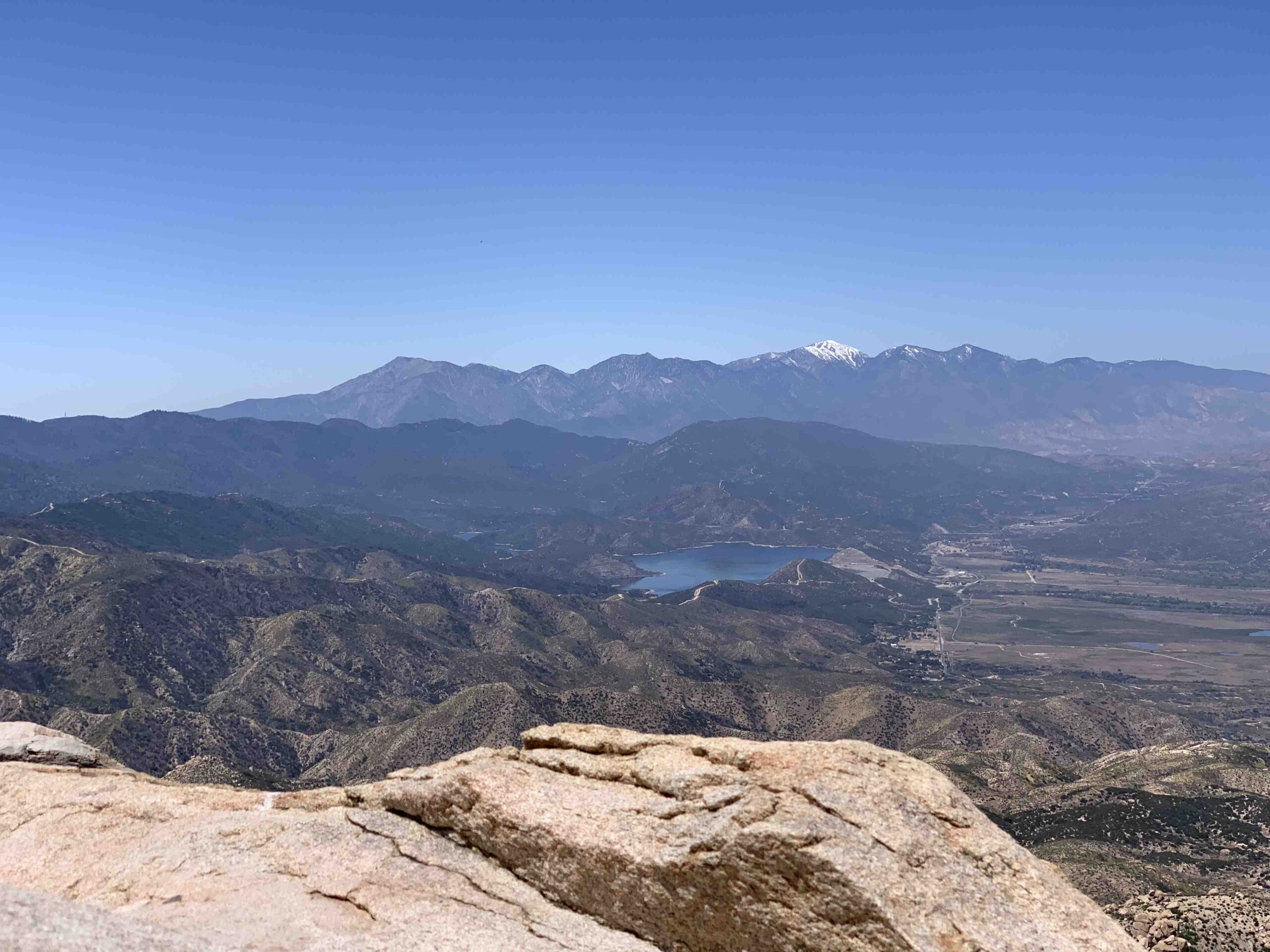
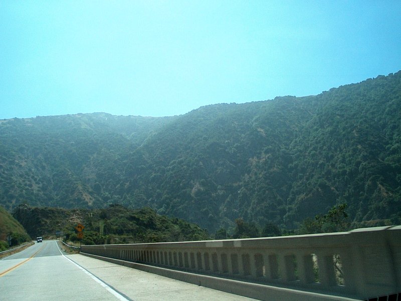
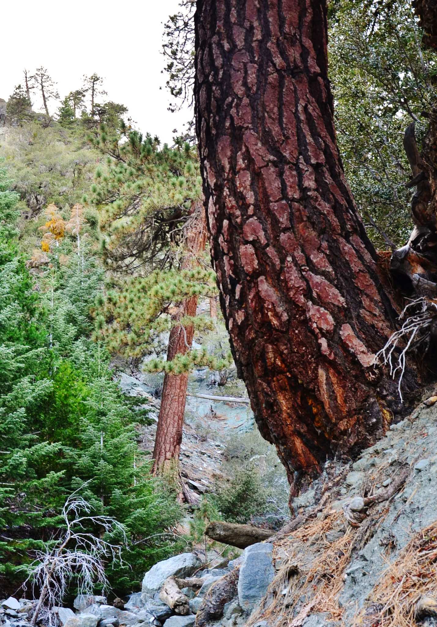
Twin Peaks in Angeles National Forest offers a challenging and rewarding hiking experience. Located in the San Gabriel Mountains, these twin summits provide panoramic views of the surrounding wilderness. The trail to Twin Peaks is approximately 11.5 miles round trip, featuring significant elevation gain and diverse terrain. Hikers can expect to encounter dense pine forests, rocky outcrops, and potentially fire-affected areas. This remote destination requires careful navigation and preparation, especially beyond Twin Peaks Saddle where the trail becomes less defined.
What Are the Key Features of Twin Peaks Hiking Trails?

The Twin Peaks hiking trails in Angeles National Forest offer a diverse and challenging experience for outdoor enthusiasts. Here are the main characteristics:
Trail Length and Difficulty
- Full loop: Approximately 11.5 miles
- Shorter option to Mt. Waterman: About 5.5 miles
- Difficulty: Challenging due to length, elevation gain, and navigation requirements
Elevation Profile
- Starting point (Buckhorn Day Use Area): 6,500 feet
- Mt. Waterman: 7,962 feet
- Twin Peaks Saddle: 7,200 feet
- Twin Peaks East: 7,761 feet
- Twin Peaks West: 7,635 feet
Key Waypoints
- Junction with Mt. Waterman Trail #2
- Descent through pine forests
- Devil’s Canyon Creek crossing
- Twin Peaks Saddle (end of established trail)
- Use trail to Twin Peaks summits
What Geological Features Define Twin Peaks?

Twin Peaks stand out in the Angeles National Forest for their unique geological characteristics:
Elevation and Coordinates
- Twin Peaks East: 7,761 feet (34.3442° N, 117.9533° W)
- Twin Peaks West: 7,635 feet
Surrounding Landscape
- Part of the San Gabriel Mountains
- Offers views of nearby peaks and valleys
- Rugged terrain with rocky outcrops and dense forests
Are There Camping Options Near Twin Peaks?
While Twin Peaks itself doesn’t have designated campgrounds, the surrounding Angeles National Forest offers various camping opportunities:
Dispersed Camping
- Allowed in certain areas of Angeles National Forest
- No reservations required
- Must follow forest service regulations
Nearby Campgrounds
- Buckhorn Campground
- Other sites along Angeles Crest Highway
| Campground Type | Reservations | Amenities |
|---|---|---|
| Dispersed | Not required | Minimal |
| Organized | May be required | Varies (restrooms, water) |
What Are the Best Photographic Opportunities at Twin Peaks?
Twin Peaks offers numerous opportunities for stunning photography:
Prime Vantage Points
- Summit of Twin Peaks East
- Rocky saddle between East and West peaks
- Various points along the trail offering forest and mountain views
Optimal Photography Conditions
- Time of day: Early morning or late afternoon for best lighting
- Seasons:
- Spring for wildflowers
- Fall for autumn colors
- Winter for potential snow-covered landscapes (check trail conditions)
Subjects to Capture
- Panoramic views of San Gabriel Mountains
- Dense pine forests
- Rugged mountain terrain
- Wildlife (if encountered)
How Has the Bobcat Fire Affected the Twin Peaks Area?
The Bobcat Fire has left a significant impact on the Twin Peaks area:
Visible Effects
- Sections of blackened tree trunks
- Areas of dead foliage
- Potential for increased erosion and loose gravel on trails
Trail Conditions
- Some parts may be overgrown
- Increased difficulty in navigation due to fire damage
- Possible closure of certain trail sections (check current conditions before hiking)
What Safety Precautions Should Hikers Take on Twin Peaks Trails?
Given the challenging nature of the Twin Peaks trails, hikers should take several precautions:
- Carry plenty of water (at least 3-4 liters per person)
- Bring navigation tools (map, compass, GPS)
- Inform someone of your hiking plans
- Start early to avoid hiking in the dark
- Be prepared for sudden weather changes
- Carry a first aid kit and emergency supplies
- Wear appropriate hiking boots and clothing
How Can Hikers Prepare for the Twin Peaks Trail Navigation Challenges?
Navigating the Twin Peaks trail, especially beyond Twin Peaks Saddle, requires preparation:
Navigation Tools
- Detailed topographic map of the area
- Compass or GPS device
- Smartphone with offline maps (as backup)
Trail Markers
- Look for:
- Small cairns (rock piles)
- Ribbons tied to trees
- Worn paths in vegetation
Skills to Practice
- Map reading
- Compass use
- Identifying landmarks
- Backtracking if necessary
By thoroughly preparing and understanding the challenges of the Twin Peaks trail in Angeles National Forest, hikers can enjoy a safe and rewarding experience in this beautiful wilderness area.
References:
1. HikingGuy.com – Hike Mt Waterman & Twin Peaks
2. USDA Forest Service – Twin Peaks Trail
3. Modern Hiker – Twin Peaks in the San Gabriel Wilderness

